|
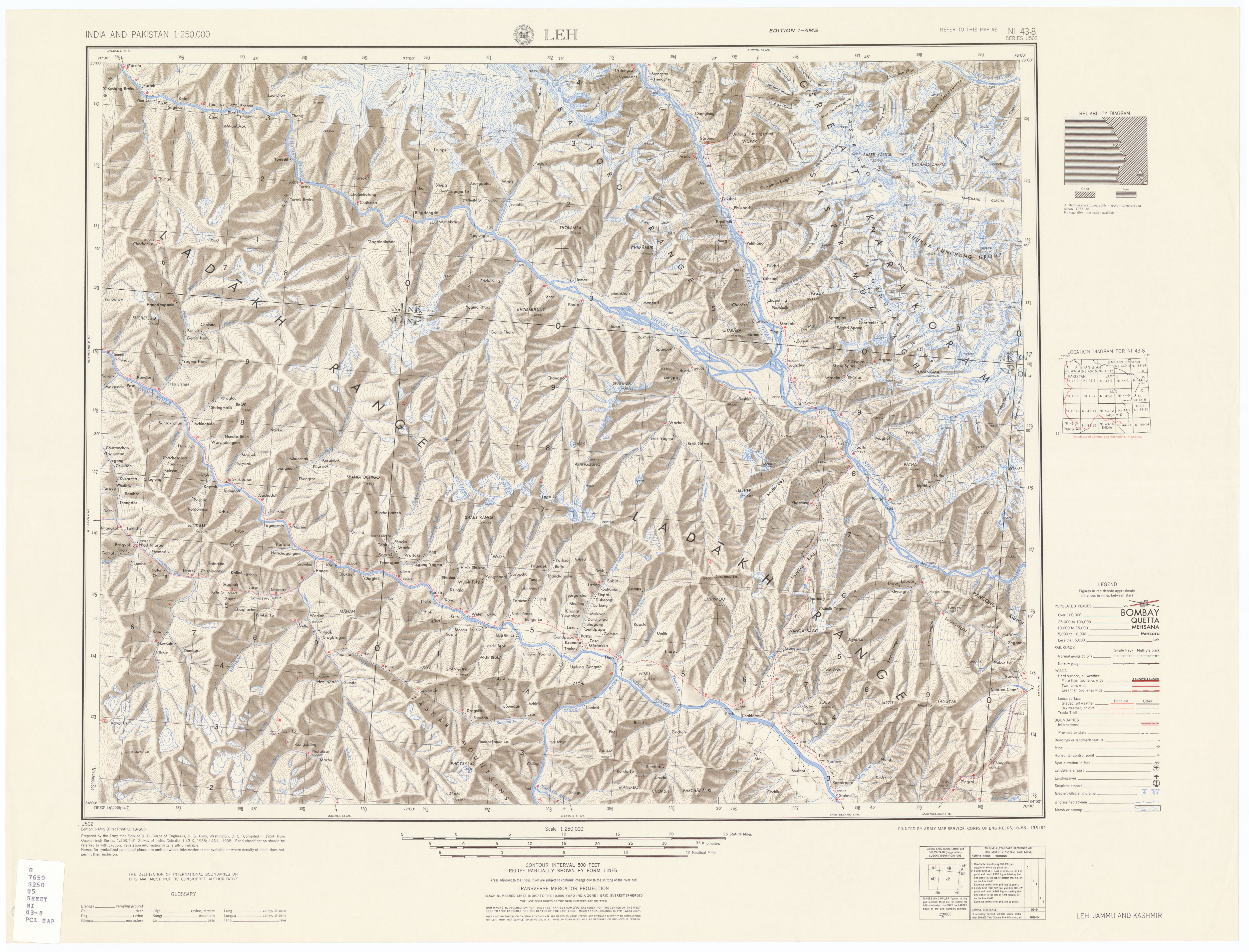
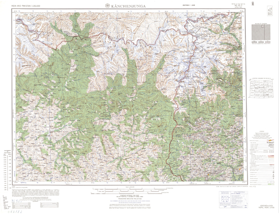
| Title: |
Topographical Map showing Kanchenjunga |
| Source: |
University of Texas Online Library |
|
| |
|
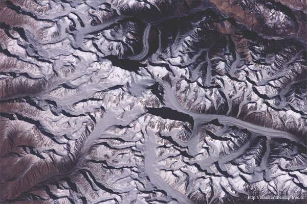
| Title: |
Satellite Image of the Saser Kangri Mountains |
| Source: |
University of Texas Online Library |
|
| |
|
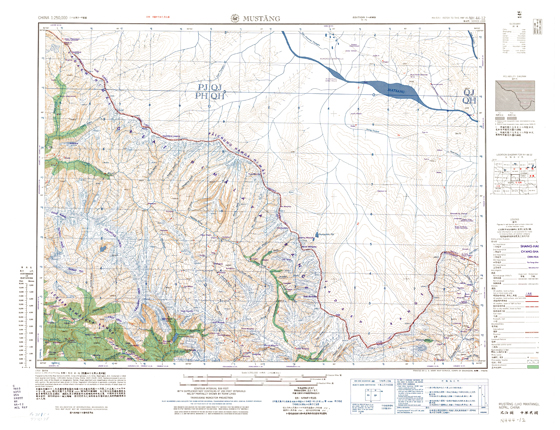
| Title: |
Topographical Map of Mustang district, Nepal |
| Source: |
University of Texas Online Library |
|
| |
| |