| |
|
| PHYSICAL MAPS |
|
| |
|
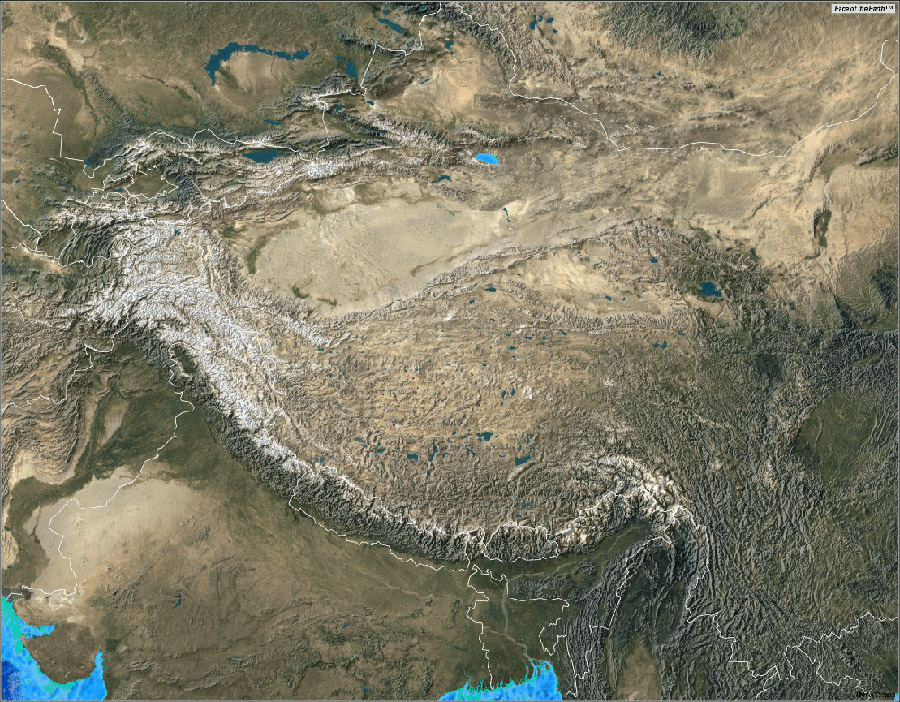
| Title: |
Satellite Image of the Himalayas and Tibet |
| Source: |
ARC Science Simulations |
| Description: |
Map showing satellite imagery of Tibetan plateau and the Himalayan mountain ranges. It displays the topographical variations, snow cover, presence of water body and vegetation of the Tibeto-Himalayan region |
|
|
|
|
|
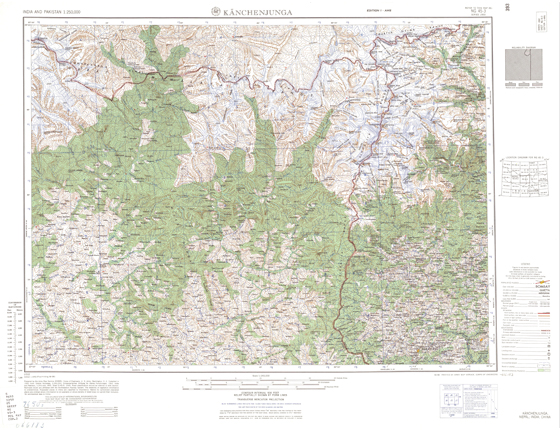
| Title: |
Topographical Map showing Kanchenjunga |
| Source: |
ARC Science Simulations |
|
| |
|
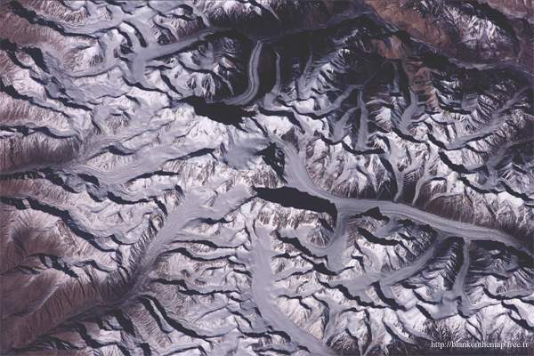
| Title: |
Satellite Image of the Saser Kangri Mountains |
| Source: |
ARC Science Simulations |
|
| |
|
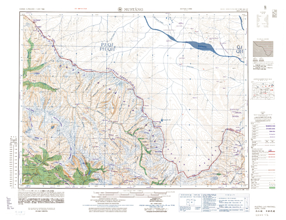
| Title: |
Topographical Map of Mustang district, Nepal |
| Source: |
ARC Science Simulations |
|
| |
| |
|
|
| back |
|
|